Reflections from Faryal Faizan, Bayou City Waterkeeper’s GIS Fellow
Over the past few months, I’ve had the opportunity to work with Bayou City Waterkeeper as a Geographic Information System (GIS) Fellow, supporting their efforts to make environmental data more accessible, useful, and connected to communities across the Houston region.
My background is in geography, GIS, and environmental analysis, and this fellowship gave me the chance to apply those skills to real-world environmental justice work. Much of my fellowship focused on sewage overflow data and how mapping can help tell a clearer story about where these incidents are happening, which areas are experiencing repeated problems, and why those patterns matter.
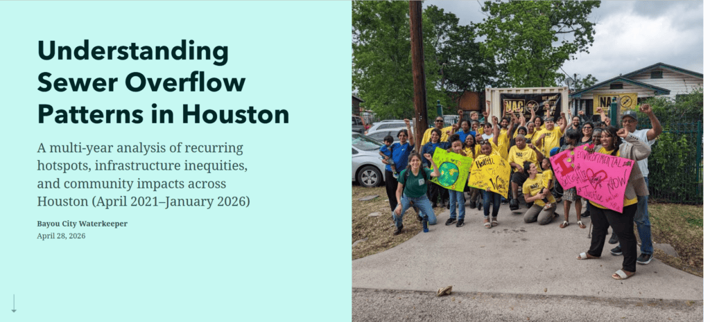
Using BCWK’s 2026 Sewage Analysis as the source for the data and findings discussed in this blog, I helped review, organize, and map reported sewage overflow incidents across Houston. This included looking at recurring hotspots, district-level patterns, and areas where infrastructure concerns appear more concentrated. I also supported work connected to BCWK’s Consent Decree advocacy by helping communicate sewage overflow trends in a clearer and more accessible way.
One of my main projects was updating BCWK’s public sewage overflow mapper. This interactive tool allows users to explore sewage overflow patterns across Houston and better understand where incidents have been reported. In addition, we created a StoryMap to present the findings in a more guided format, using maps, charts, and plain-language explanations to help residents, advocates, and decision-makers follow the issue more easily.
Interactive sewage overflow mapper: https://experience.arcgis.com/experience/347cca658c534c4cada8e13211aeb5af
StoryMap: https://storymaps.arcgis.com/stories/818b2d2f30844726a2ed7632251c056b
This work also connects with former GIS Fellow Tai Lung’s recommendations about the importance of local data tools. In his BCWK blog post, Tai explains that local tools help make data more actionable because they reflect community-specific conditions and support targeted advocacy. I kept this in mind while working on the mapper and StoryMap by focusing on clear visuals, accessible language, and information that can support community awareness.
To complete this work, I started by collecting and reviewing sewage overflow data, then cleaned and organized the records in Excel so they were ready for mapping. I brought the data into ArcGIS to map reported incidents and look for patterns such as recurring hotspots and district-level trends. From there, I connected the maps to Experience Builder and helped create interactive, public-facing tools that make the information easier to explore and understand.
This fellowship helped me see how GIS can support environmental advocacy in a practical way. A map is not just a visual. It can help reveal patterns, connect data to lived experiences, and make complex information easier to use. Through this work, I learned that data becomes more meaningful when it is presented in a way that communities can understand and act on.
I’m grateful for the opportunity to contribute to Bayou City Waterkeeper’s work and to support tools that help make environmental information more transparent, accessible, and connected to the communities most affected. I look forward to continuing to build on this work and supporting future efforts that use GIS, data, and storytelling to advance cleaner water, stronger infrastructure, and more equitable environmental protection.